Maps
- Archiwum Map Wojskowego Instytutu Geograficznego.
Archive of high resolution Poland maps from the WIG ca. 1930.
- Archiwum Map Zachodniej Polski.
Archive of 1:25,000 Poland maps from the Reichsamt für Landesaufnahme, 1941.
- Archiwalne Mapy Pomorza Gdañskiego.
High resolution Poland maps from the Preußischen Landesaufnahme ca. 1900 plus some
rare 1:200,000 maps of the Danziger Werder by Daniel Gottlob Reymann from the
mid-1800's.
- Atlas des
Deutschen Reichs. Ravenstein 1883, 1:850,000. Old, but low resolution.
- BKG. Bundesamt für
Kartographie und Geodäsie, publishes a wide variety of maps of Germany and
previous territory. Of particular interest are the Historische Topographische
Karten of central Europe at 1:300,000, 1:100,000 and 1:25,000 resolutions
which are extraordinary engravings made in about 1940. There are 4 of the
1:300,000 maps: Ostpreußen, Pommern, Schlesien, and Oberschlesien (click on
Historische Topographische Karten).
- Brandenburg-Preußen.
Brandenburg-Prussia in the 18th century.
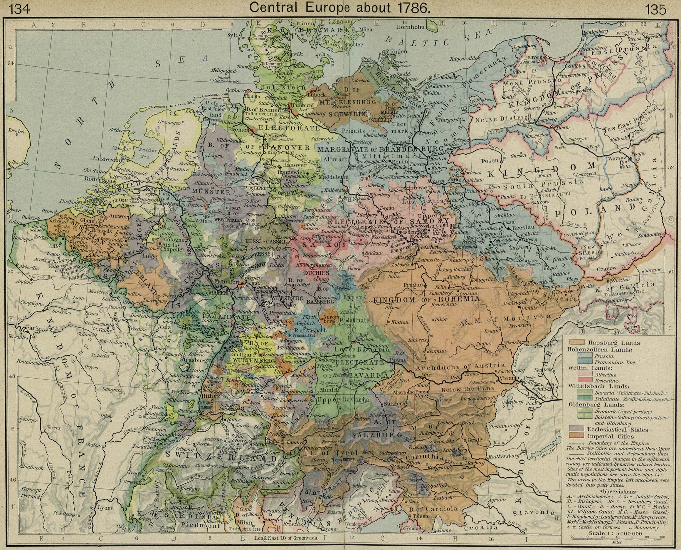
- Central Europe ca 1786.
Source: from Shepherd, William R.,
Historical Atlas, 1923, 1:5,000,000.
- Central Europe Migrations. Source: Edited by Tom Stangl
from Shepherd, William R.,
Historical Atlas, 1923, 1:5,000,000.
- Genealogy Unlimited.
A vendor for many of the maps listed elsewhere on this page.
- Geographical Atlas of the Russian Empire.
Maps of Russian provinces, ca. 1820, place names in Russian.
- German Confederation. 1:6,000,000, 1815 - 1866.
- Germany. 1:6,000,000, 1812.
- Höfer Verlag. A map
publisher specializing in multilingual middle and eastern European maps.
- Institut für Europäische Geschichte.
European historical and political maps.
- Kartenmeister.
A map database of places east of the Oder and Neiße.
- mapa.szukacz.pl.
Interactive Polish roadmap and gazeteer.
- Die Mariupoler Kolonien, 1826.
Source: J. Stach, Grunau und die Mariopoler Kolonien, with permission of
S. Hirzel Verlag, Stuttgart.
- Michelin.
European street maps.
- Migration Routes from the Duchy of Warsaw to Odessa. Source: GCRA.
- Migrations Route Map.
By Harold Ehrman and Tom Stangl.
- Military
Mapping Survey of Austria-Hungary. 1:200,000, ca. 1910.
- New Russia Migration Routes. Source:
Edited by Tom Stangl from Stumpp, Karl, Karte der deutschen Siedlungen in Neu (Süd)-Rußland,
1921, 1:1,500,000.
- Partitions of Poland. 1772, 1793, and 1795.
- Poland Historic. Lubmin Union in 1569 and Peace of Oliva in 1660.
- Partitions of Poland B&W. 1772, 1793, and 1795.
- Poland Migrations to Russia. Source:
Edited by Tom Stangl, source unknown, 1:5,000,000.
- Prussia. 1815 after the Congress of Vienna.
- Prussia. 1866 with map of Hessen-Darmstadt.
- Prussian Territory. Changes, 1801-1807.
- Schlesien, 1756. From Frederick the Great
and the Seven Years' War, Longmans, Green and Co., 1917.
- ShtetlSeeker.
A map database of places in central and eastern Europe.
- Die Deutschen Kolonien im Schwarzmeergebiet,
1848. Source: M. Woltner, Gemeindeberichte der Schwarzmeer Deutschen 1848,
with permission of S. Hirzel Verlag, Stuttgart.
- Velhagen & Klasing Historischer Handatlas. Historical maps.
- WHKMLA
Historical Atlas. Historical maps and links to other map sites.